WWW.FASTCOMPANY.COM
Pacific Palisades fire live map: Real-time tools let you track wildfires and smoke in Los Angeles
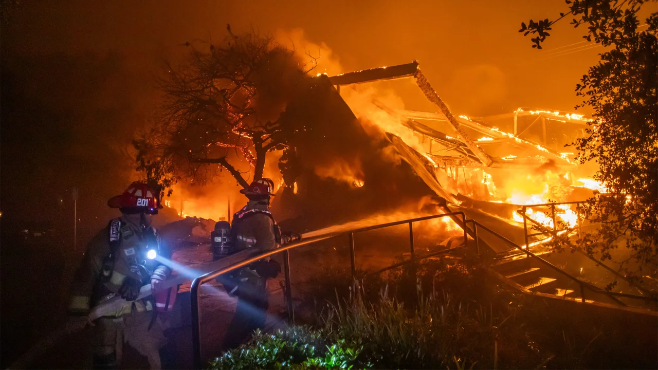
On Tuesday, a wildfire broke out in the Pacific Palisades neighborhood of Los Angeles, California. The fire has since spread across at least 2,900 acres and is burning throughout spaces equal to about five football fields every minute, according to CNN. So far, there have been no reported deaths attributed to the wildfires, which have consumed numerous homes and cars that had to be left behind as residents fled.One thing that is making the fires worse is the tornado-like winds also afflicting the region. Winds can literally fan the flames of a wildfire and fling embers up into the air, and carry them to new locations, causing additional fires to rise up. How far the fires will spread before they are contained is anyones guess at this moment. But there are several ways you can track the spread of the fires using online tools.[Screenshot: via Esri Wildfire Aware]The first is by using the Wildfire Aware map produced by the geographic information system (GIS) software firm Ersi. The map uses numerous data sources to show where wildfires have broken out. The orange and red areas on the map show where fires currently burn and by clicking on any given area, you can see how many personnel are on the scene fighting the fires.As of the time of this writing, Esis Wildfire Aware shows that there are 2,920 reported acres on fire and 800 personnel on the grounds fighting those fires. It currently says there is a 0% containment rate of the fires in the Palisades.[Screenshot: via NASA FIRMS]The second online mapping tool is the Fire Information for Resource Management Systems map, or FIRMS, which uses data from the Forest Service of the United States Department of Agriculture and NASA.This map is useful due to the tools it offers. For example, you can scrub through its timeline to see where and when the fires spread. It also offers measuring tools that you can use to determine the size of reported fires.Finally, the AirNow Fire and Smoke mapping tool, a collaboration between the U.S. Forest Service and the Environmental Protection Agency, lets you track air-quality levels by location. You can type in a specific zip code or use the interactive map tool to navigate over specific regions.
0 Compartilhamentos
152 Visualizações


